Geospatial Network Inventory FREE
FTTH design software free
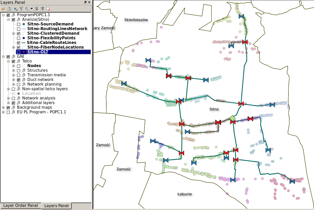
Planning of FTTx network in QGIS
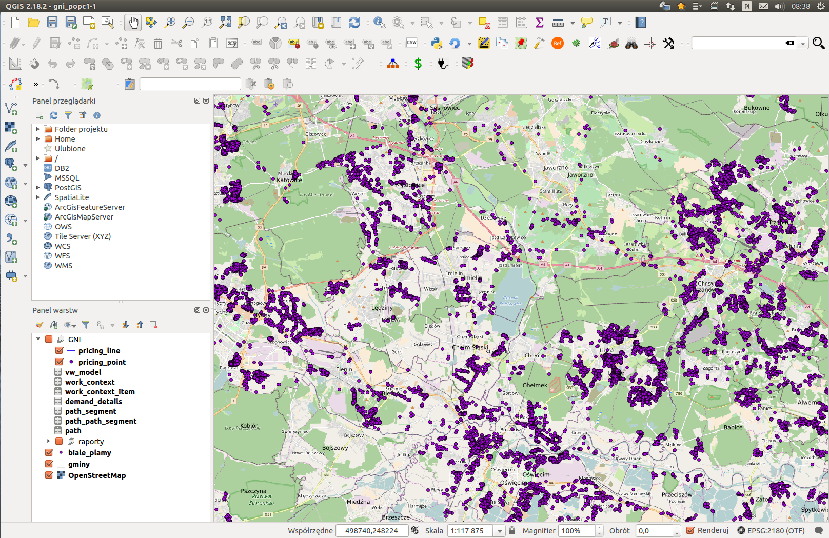
Geospatial Network Inventory FREE (GNI FREE) is a free version of telecom network inventory system GNI. The solution was prepared for the telecom operators and companies that plan, design and build FTTH networks. The application architecture is based on the QGIS geospatial platform. By combining a wide range of QGIS vector libraries and FTTH/GPON engineering rules we were able to create a product automating the work in designing a concept of the planned fibre optic network.
Standard mechanisms provided by the GRASS library, publicly available data and background maps from OpenStreetMap have been utilised in the solution. The system works on the local SpatiaLite database which is an element of the shared GNI FREE distribution.

To download the FTTH design software free version, go to the GNI FREE download page. We encourage you to get familiar with the full version of Geospatial Network Inventory
Product features
QGIS distribution
Geospatial Network Inventory product is based on a standard QGIS system distribution available on the http://www.qgis.org. Our product enriches the selected version of QGIS with:
FREE
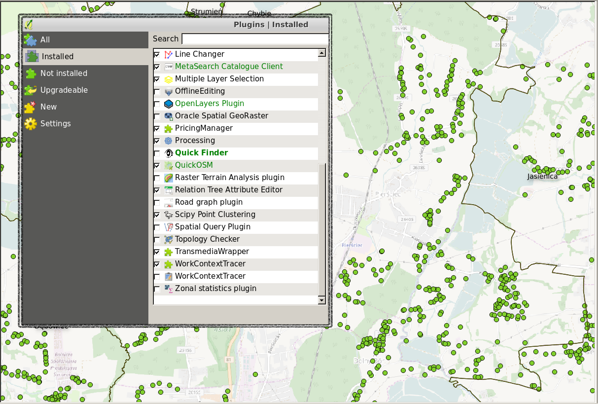
QGIS Plugins
Standard installation of QGIS is extended with the set of plugins selected from the publicly available repository and with the set of a free software libraries. Distribution of the Geospatial Network Inventory product is additionally supplemented by our own plugins that provide functionalities used by the FTTH Planner module.
The plugins that require additional data layers to work complement the QGIS configuration with necessary relations, forms and definition of map symbols.
FREE
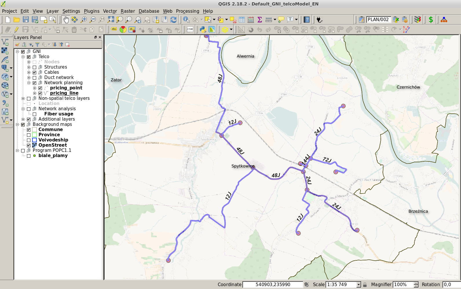
FTTH/GPON Planner
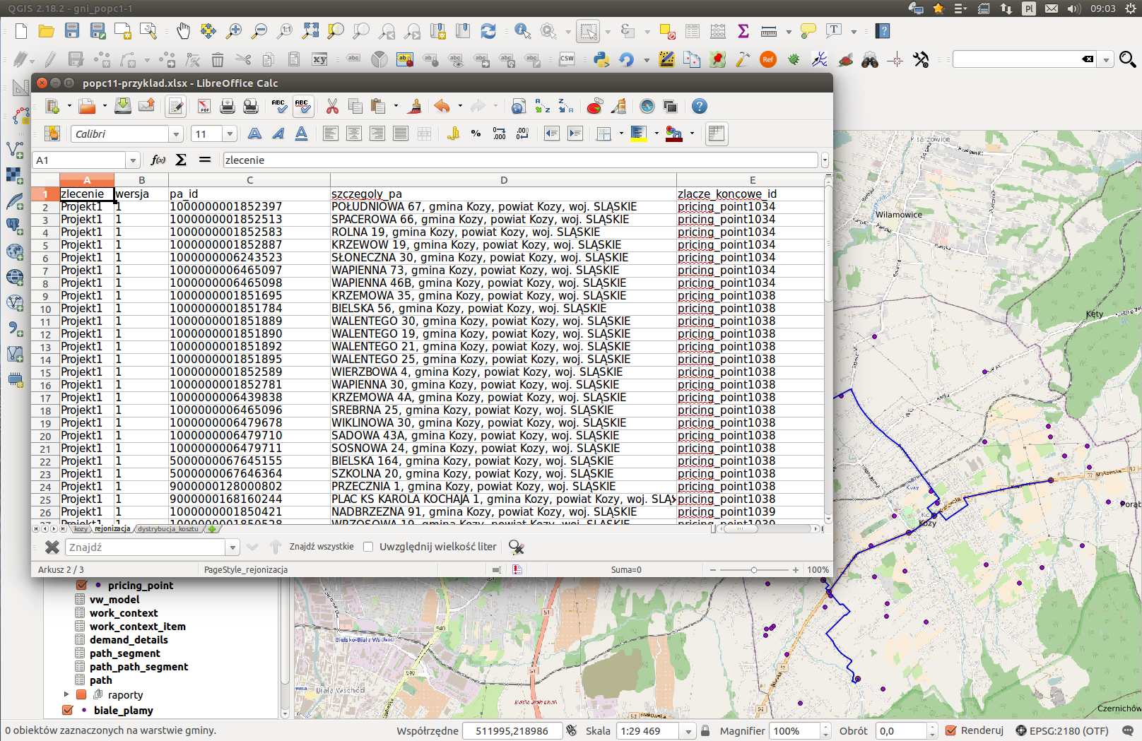
A set of algorithms and scripts that allow for FTTH network planning in GPON technology. The designed process guides the user from determining demand locations and placement of OLT, through the construction of a planned network topology with locations of splice closures and cables, to the proposals for matching appropriate cable profiles and resource report generation. The module contains:
FREE
Document generation
The final product of the FTTH Planner operation is generating of a list depicting a fibre optic network proposed by the network algorithms. Using the standard functionality of QGIS and a set of selected plugins, GNI FREE allows generating the following documents:
FREE